Chile runs more than 4,000 miles down South America’s Pacific coast, yet it is only about 61 miles wide. Its borders also owe much to history, above all a 19th-century war that grew its territory.
more
Where the colony’s limits sat
Before the Spanish arrived, the Inca held the north of what is now Chile, while the Mapuche lived across the south and centre. Pedro de Valdivia began the Spanish conquest and founded Santiago in 1541, but the Indigenous Araucanian people resisted the first invasion and later killed Valdivia himself, in 1553.
Chile broke from Spanish rule in 1810, after a junta in Santiago declared autonomy once Napoleon had deposed the Spanish king. Spain briefly regained control, then lost it for good in 1817, when the Army of the Andes defeated Spanish forces at the battles of Chacabuco and Maipu. Independence followed in 1818, with Bernardo O’Higgins as supreme leader.
How the War of the Pacific added the north
The country’s modern reach came later, and by force. Between 1879 and 1884, Chile fought and defeated Peru and Bolivia in the War of the Pacific, and grew its territory by a third. Large-scale mining of nitrate and copper began in the late 19th century. Today the country’s rich supply of copper lies in the desert region. Chile’s “pacification” of the Araucanians in the same period paved the way for European immigration.
What the borders left behind
Both legacies are still visible. About 5 percent of Chileans today are native Mapuche or members of other Indigenous groups. In parts of the south, Mapuche people live, speak their language, and practise their own religion. The northern border has stayed contested too. In 2008, Peru filed a lawsuit at the International Court of Justice over a long-standing maritime dispute with Chile. In 2009, relations grew further strained after Chile held a military exercise close to the disputed border.
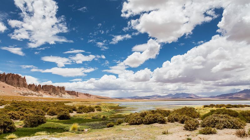
The result is the ribbon-shaped country on the map today. It reaches from the Atacama Desert, one of the driest areas on Earth, to Cape Horn, known for high winds and treacherous waves.