GPS works by timing. Each satellite broadcasts the moment it sent its signal, and your receiver measures how late that signal arrives. Multiply the delay by the speed of light and you have the distance to that satellite. Do that for four satellites and the receiver can work out where it is.
Nothing goes up to space from your phone. The receiver listens, and the arithmetic happens in your pocket.
The idea is older than it looks. NASA points out that sailors once steered by the constellations, and that GPS swaps the stars for satellites whose positions at any moment are known in advance. The principle is the same: fix yourself against points in the sky you can trust.
What is up there?
The US Global Positioning System runs 31 satellites in medium Earth orbit, according to the Federal Aviation Administration. Each one carries an atomic clock, and the time it keeps goes out inside the codes the satellite broadcasts.
NASA describes GPS as three parts working together: the satellites, ground stations, and the receivers people carry. The ground stations use radar to confirm that each satellite sits where it is meant to be. That matters, because a receiver can only measure distance from a satellite whose position it already knows.
Why one satellite is not enough
A single distance tells you less than you might expect. Britannica explains that knowing your range from one satellite only places you somewhere on a sphere, with that range as its radius.
Add more spheres and the possible positions shrink. The FAA says that with ranges to three satellites, plus where each satellite was when it sent its signal, a receiver can fix its own position in three dimensions.
There is a catch. That three-satellite fix only works if the receiver also has an atomic clock in step with GPS time. Your phone has nothing of the kind.
The fourth satellite stands in for the clock
This is the clever part. By measuring a fourth satellite as well, the receiver avoids needing an atomic clock of its own. The extra signal lets it solve for four unknowns at once: latitude, longitude, altitude, and the time.
The satellites are spread across their orbits so that four of them are always in view, Britannica notes. The receiver also corrects for the way the ionosphere and the troposphere slow the signal on its way down.
How close does it get you?
The FAA puts the basic GPS service at an accuracy of about 7.0 metres in 95% of measurements, anywhere at or close to ground level. NASA says an ordinary receiver places you within a few yards, and more advanced receivers can get down to a few inches.
GPS is also not the only system in orbit. The FAA lists three other constellations:
- GLONASS, run by Russia
- Galileo, run by the European Union
- BeiDou, run by China
All four providers offer their systems free to the rest of the world. The FAA groups them under one name, Global Navigation Satellite Systems.
Aviation leans on all of them. Each provider has drawn up International Civil Aviation Organization standards and recommended practices so that aircraft can use its constellation, the FAA says. The FAA page treats GPS as one member of that family rather than the whole of satellite navigation.
Not only for finding the café
The same timing trick serves science. NASA points to GPS helping with early tsunami warnings, keeping watch on volcanoes, and tracking the aftermath of earthquakes.
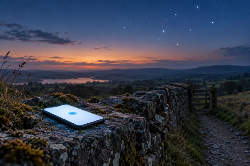
So the next time a map app puts a blue dot on your street, the dot is the answer to a sum. Four clocks in orbit set the question, and your phone does the rest.