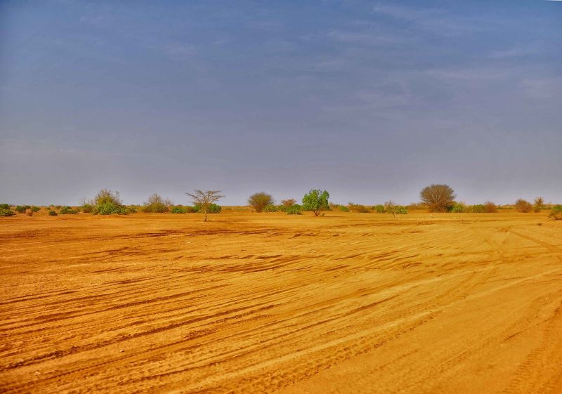
Under the Turkana Rift, where Kenya meets Ethiopia, Earth’s crust has thinned to about 13 kilometres at its narrowest point. The rock around it runs closer to 30 kilometres thick. Geologists at Columbia University measured the same squeeze a different way and got 8 miles of crust at the rift’s centre against more than 22 miles just outside it. They call this stage necking, the point where a continent’s crust stretches almost to breaking before it finally gives way, and nobody has watched it happen this closely before.
more
The scan that found the thinning
The team included Columbia University geologist Folarin Kolawole and geoscientist Christian Rowan. They reused decades of acoustic survey data first gathered to search for oil and gas, sending sound waves into the ground and reading how they bounced back. Rowan compares the result to “an ultrasound of the upper crust.” Tracing the old metamorphic rock that forms the continental crust, the team found one region where it was just under 13 kilometres thick. Typical crust is about 30 kilometres thick. The findings appeared on 23 April in the journal Nature Communications.
The point of no return
Sascha Brune is a geodynamicist at the GFZ Helmholtz Centre for Geosciences in Germany, and had no part in the study. He says the measurements match what computer models predict for the necking stage of a continental breakup. “It’s kind of the point of no return,” he told Science News. A few other rifts around the world have already finished necking, but this is the first time anyone has caught the process under way rather than reading it after the fact. “This is the place to go,” Brune said.
Rowan’s team also put a rough date on how long the Turkana Rift has sat in this state. By tracking how far a layer of volcanic rock, once at the surface, has been dragged down as the crust stretched, they estimate necking has been running for about four million years. “The center of the rift has completely dropped out,” Rowan said.
What happens once the crust gives way
Necking is not the final act. If it continues, the next stage is what geologists call oceanization: the crust tears through completely, mantle rock pushes up into the gap, and the magma reaching the surface cools into new ocean floor. Because that new oceanic crust is denser than the continental rock around it, it sinks and starts to hold water. Given a few million more years, the Nature Communications team suggests, water will move in from the Indian Ocean and a new sea will separate eastern Africa from the rest of the continent.
None of this moves fast by any clock a person keeps. Within the Turkana Rift, the two plates are separating at about a fifth of an inch a year. That rift sits inside the wider East African Rift System, a belt roughly 4,000 miles long running from Jordan to Mozambique and averaging about 35 miles across.
Why the pulling speeds up and slows down
A separate study of the South Turkana Basin, published in Scientific Reports, found that the pulling itself is not constant. Researchers measured slip along 27 faults there and compared the period before and after Lake Turkana’s level fell by 100 to 150 metres, roughly 5,300 years ago, as the region’s climate turned drier. Once the lake dropped, those faults slipped an average 0.17 millimetres a year faster than before. The cause looks mechanical: less water pressing down on the crust, and more magma rising beneath it as the mantle answered the lighter load, both add stress to faults already primed to move. Climate does not cause the rift, but it can change its pace.
The fossils the thinning left behind
The same subsidence that is carrying the Turkana Rift toward an ocean has spent millions of years filling it with sediment. Fine-grained layers settling into the sinking basin preserved one of the richest hominin fossil records anywhere, including Turkana Boy, a 1.6-million-year-old Homo erectus skeleton and the most complete of its kind ever found. “Eventually,” Rowan said, “eastern Africa will break apart.”