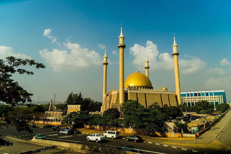
Nigeria built Abuja because Lagos was the wrong place to govern from. The old capital sat on the coast in the south-west, exposed and short of room, and it lay in the heart of Yoruba country in a nation balancing rival ethnic groups. A new city near the geographic centre was meant to belong to nobody in particular, and so to everybody.
more
NASA’s Earth Observatory put the government’s reasoning plainly: Lagos lacked the space and the ethnic mix that Nigeria’s leaders wanted in a modern capital.
When the decision was made
The move began with a decree. On 4 February 1976 the military government of Murtala Muhammed created the Federal Capital Territory, 7,315 square kilometres cut from Niger, Plateau and Kaduna states. Encyclopaedia Britannica describes the site as lying about 480 kilometres north-east of Lagos.
Britannica lists what the planners were looking for. The site offered a central position, good access, a healthy climate, few residents, and room to grow. At 360 metres above sea level, it is also cooler and drier than Lagos.
In 1979 the government approved the plan to build the city, and construction started that year. Economic and political turmoil slowed the work, and the first stages were not finished until the late 1980s. Abuja formally took over from Lagos as capital on 12 December 1991.
Who fought the move
Not everyone wanted it. Obafemi Awolowo, a leading Yoruba politician, led the opposition and promised during the presidential campaign to hand the new site to the Walt Disney Company as an amusement park if he won. He lost. The winner, Shehu Shagari, made Abuja his first trip outside Lagos after the election and pressed the contractors to finish quickly.
The name itself came at a price. Abuja had been the name of a nearby emirate town, and its council agreed to give the name to the new capital. The old town became Suleja.
The “no man’s land” that was not empty
Officials presented the territory as neutral ground, described as “no man’s land”. NASA counts 500 to 600 villages on the site when the plan was approved, home to about 300,000 people. The BBC reports that at least 10 indigenous groups, among them the Gbagyi, lost homes and farms to the new ministries.
The government first meant to move the “few local inhabitants” out of the territory, then reversed course. Nasiru Suleiman, who runs resettlement and compensation at the Federal Capital Development Authority, told the BBC the cost of resettlement was too high, so people who wanted to stay could. Those living in the central districts still had to go.
Lami Ezekiel, now in her 80s, remembers the trucks arriving at her family’s land in Maitama in the late 1980s. Families were driven about 30 minutes away to Kubwa, which residents say lacked basic services. Many say they are still waiting for the compensation they were promised. Maitama is now one of the city’s most expensive districts.
The dispute is not over. On 13 March 2025 bulldozers cleared homes in Gishiri, an indigenous community older than the capital territory, and destroyed its primary school.
What the plan became
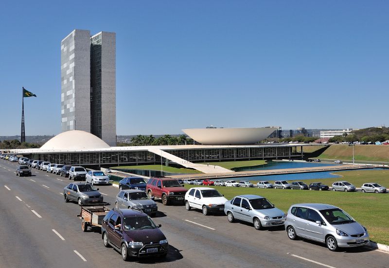
The city’s master plan grew outward in phases from Aso Rock, a granite outcrop 400 metres high. The presidential complex, the National Assembly and the Supreme Court stand just south-east of it. Researchers tracking Landsat images found that low-income housing soon spread outside the planned districts, clustered in satellite towns such as Kubwa.
Some 300,000 people lived on the land in 1979. NASA put the territory’s population at no fewer than 3.6 million by 2022. The neutral capital worked well enough to fill up, and the town that took in Maitama’s evicted families became one of the places the overflow went.