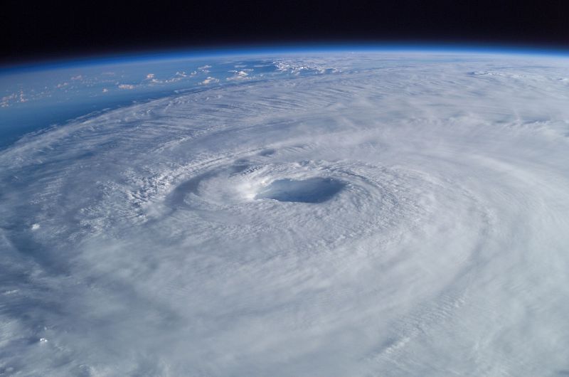
The Atlantic hurricane season is deep into its peak weeks, and it has not produced a single hurricane. Only two years on record have gone the whole way without one, 1907 and 1914, and both predate satellites that could confirm whether a smaller storm slipped past unnoticed. If nothing forms before 8 October, this year will break the standing record for the latest first Atlantic hurricane, set in 1905.
more
Averaged over the three decades to 2020, the season’s first hurricane typically showed up around 11 August, a second followed by 26 August, and a third had arrived by 7 September. This year’s running total, as September draws to a close, is zero. Forecasters at NOAA expected a quiet year. They opened the season expecting three to six hurricanes against a typical seven, then cut that to two to six in an August update.
Why El Niño switched the Atlantic off
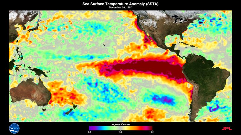
A strong El Niño is helping drive the gap. Warmer water in the Pacific weakens the Atlantic’s trade winds and drives up wind shear, the change in wind speed and direction with height that tears a storm’s circular structure apart before it can organise. Phil Klotzbach, a meteorologist at Colorado State University, said wind shear over the Atlantic waters where hurricanes typically form has run stronger this year than in any year since record-keeping for it began in 1979. A plume of Saharan dust that drifted west over the ocean in summer added to the effect: it dried out the air a storm needs to grow.
The Pacific took the storms instead
While the Atlantic sat still, the eastern Pacific ran roughly 5°C warmer than usual, the same El Niño supplying elsewhere what it denied the Atlantic. Hurricane Polo strengthened into a Category 5 off Mexico’s coast, and Hurricane Odalys moved toward the Mexican coast while Tropical Storm Nolo headed for Hawaii. Eight hurricanes have formed there so far, matching the seasonal average, but five reached major strength. The season already ranks fourth for total accumulated cyclone energy this late in the year, a measure of how strong storms ran and for how long.
A quiet count is not a safe one
Last October’s Hurricane Melissa is the reminder. A rapid attribution study from Imperial College London found that human-induced climate change had made the storm four times more likely. Wind speeds ran 7% higher and damage came in 12% worse, the study found. Brian Soden, an atmospheric scientist at the University of Miami who had no role in the study, called Melissa “a textbook example” of what a warming ocean does to a hurricane. Storm surge, not wind, causes most hurricane deaths in the United States. The Atlantic season runs until 30 November, and Klotzbach says it could still produce a hurricane before then. It only takes one making landfall to cause serious harm, however quiet the count has run up to that point.