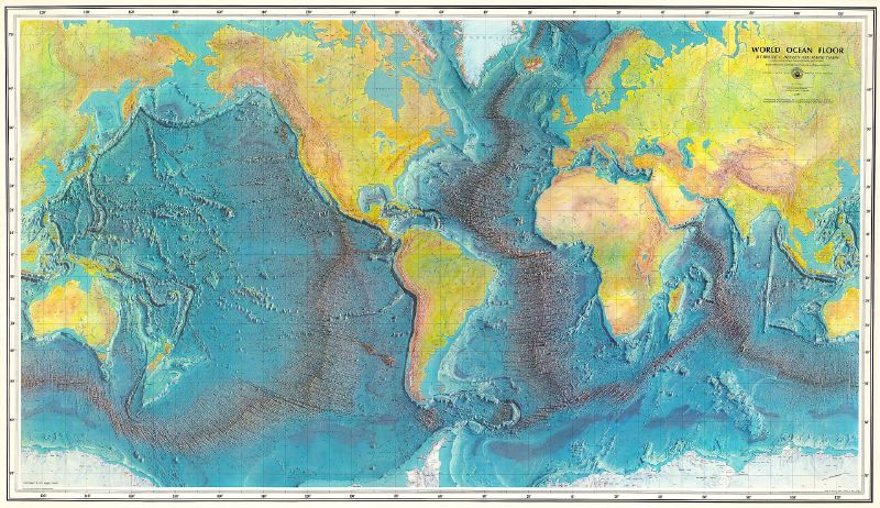
Seabed 2030 has mapped 28.7% of the world’s ocean floor in detail, after adding almost five million square kilometres of new data over the past year. The Nippon Foundation-GEBCO project wants a complete map of the seabed by 2030.
more
A project that started from almost nothing
When Seabed 2030 launched at the United Nations Ocean Conference in June 2017, only 6% of the world’s oceans had been mapped to modern standards. The project brings together the Nippon Foundation, a Japanese philanthropic body, and GEBCO, the General Bathymetric Chart of the Oceans. GEBCO holds the only intergovernmental mandate to chart the entire seafloor. GEBCO itself traces back to 1903, when Prince Albert I of Monaco set up its first chart series.
Coverage climbed to 19% by 2020, and Mitsuyuki Unno, Executive Director of the Nippon Foundation, announced the 28.7% figure this year at the International Hydrographic Organization’s triennial Assembly in Monaco. By 2020 the project already counted 133 official partners and contributors.
Why the shape of the seafloor matters
Bathymetry, the measurement of underwater depth, underpins nearly every activity that happens at sea. NCEI, the US government’s archive for global bathymetric data, lists tide prediction, tsunami forecasting, fishing, and undersea cable and pipeline routing among the uses a complete map would serve. It also names ocean circulation, the process that carries heat between the tropics and the poles. That makes seafloor shape part of how scientists model the wider climate system.
Much of what the world knows about the ocean floor has come from estimates. NCEI says only around a fifth of ocean depths had been measured through direct observation and shared publicly. The rest was inferred from satellite gravity readings, which miss smaller features and blur the detail of ridges and seamounts.
Where the new data came from
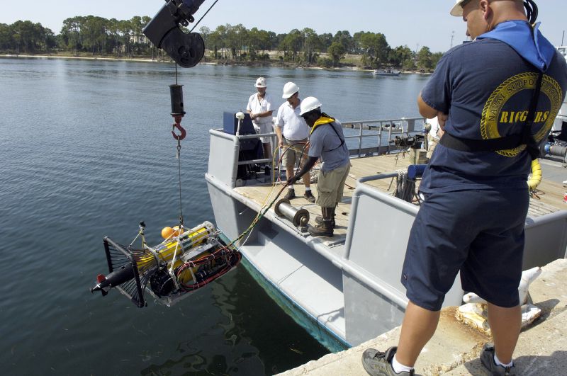
Seabed 2030 gathers depth data through five centres. Four regional ones cover the Southern Ocean, the Arctic and North Pacific, the Atlantic and Indian Oceans, and the South and West Pacific, and all four feed into a Global Data Centre in Southampton. NCEI has hosted the International Hydrographic Organization’s Data Centre for Digital Bathymetry for more than 30 years, according to NCEI scientist Jennifer Jencks. NOAA formally committed to the project in June 2022, when its administrator, Rick Spinrad, signed a memorandum of understanding at the UN’s World Ocean Conference.
Fishing, recreational and commercial vessels can contribute too, submitting depth readings taken with standard navigation instruments through the International Hydrographic Organization’s Crowdsourced Bathymetry initiative. Seabed 2030 Director Jamie McMichael-Phillips said the latest update shows what the global community can achieve when data is shared openly.
More than 70% of the ocean floor still has no detailed map. Seabed 2030 has four years left to close that gap.