No single body draws the International Date Line, and the countries that sit near it choose whichever side keeps their own calendar in one piece. That is why the line only roughly follows the 180th meridian, and bends wherever running it straight would put one country on two dates at once.

more
Kiritimati Island sits almost directly south of Hawaii, on the same line of longitude. Yet its calendar runs a full day ahead of Hawaii’s, because Kiritimati belongs to Kiribati, and Kiribati sits on the other side of the line.
What the line marks, and what it doesn’t
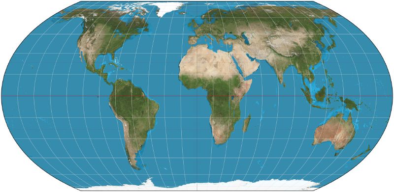
A time zone sets the hour on a local clock. The date line sets where the calendar switches from one day’s name to the next, and the two are not the same job. It runs close to the antimeridian, the meridian on the far side of the planet from Greenwich. The actual boundary between one date and the next depends on the laws each country sets, not on the meridian alone.
Greenwich became that reference point in 1884, when representatives at the International Meridian Conference in Washington, D.C. picked it as zero degrees longitude, largely because many nautical charts and time zones already used it. The same meeting introduced the date line itself, answering the disorder that railroads and international travel had created by then. Cross the date line heading west and the date usually jumps forward a day. Cross it heading east and it usually falls back one.
Why the line strays from 180°
Time zones already bend around country borders well away from the date line, so the date line’s bend is the same habit taken to its furthest point. Nobody assigns a country to one side or the other. Each decides for itself, as Samoa and Kiribati both show.
Russia carries the smallest version of the pattern. Part of its easternmost Chukotka region reaches slightly beyond the 180th meridian, so the line kinks eastward there rather than put a sliver of Russia on a separate date from the rest of the country.
Kiribati moved the line rather than split its islands
Kiribati is the largest example. Its territory used to sit across the date line itself, so the day could differ depending on which of its islands you were on. In 1995, Kiribati moved the date line around its own territory instead of living with the split, so that every island would observe the same day at the same time. The move also let Kiribati market itself to tourists wanting to be among the first people on Earth to see the new millennium. Its easternmost islands went further still, adopting a time zone of their own, UTC+14.
Samoa jumped to the other side for its trading partners
Samoa did the reverse. It used to be one of the last countries to see each new year, arriving a day behind its trading partners Australia and New Zealand. At the end of 2011 it swapped sides of the date line to align itself with them, and it has been one of the first countries ever since.
The rest of the clock bends the same way
The date line is not the only place where geography loses out to convenience. There are 38 local times in use worldwide, some offset from Co-ordinated Universal Time by 30 or 45 minutes rather than a full hour. That is according to Paul Eggert, the UCLA computer scientist who maintains the reference Time Zone Database. Counted in UTC, Eggert says, it takes 25 hours for every inhabited place on Earth to get through a single day.
China carries that logic furthest. The whole country runs on one official time, Beijing time, even though its geography could support five zones. In Urumqi, 2,000 miles west of the capital, the sun may not rise until 10 a.m. by the clock on the wall. People there keep an unofficial local time of their own alongside it, Eggert says.
Even Antarctica’s research stations follow the clock of whichever country supplies them, not the meridian under their feet. McMurdo Station runs on New Zealand time, Palmer on Chilean time. As Eggert puts it, up there “time is really arbitrary.”